A flying visit to Northern Ireland left little time to fit in an activation.
Seeing a possible weather window for the morning of my return flight, I jumped in the car and headed for Slievetrue. It was raining by the time I put on my boots, and it got progressively worse as I climbed the hill!
Finding some shelter tucked in behind a plastic water tank, I opened proceedings on 20 metres.
After 15 minutes and 11 calls in the log, I was soaked through, the horizontal rain was getting harder, and I'd had enough! I couldn't muster up the effort to try another band - sorry.
I packed up and went home to dry out before my afternoon flight.
Two S2S with F6FTB/p on F/MC-001 and S52CU/p on S5/JA-001 saved the day from being a complete washout!
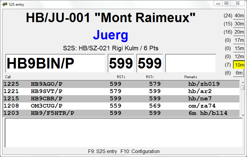
Peter, HB9TVK has updated his SOTA logging software, which he wrote primarily for the Pandora Linux device.
Intrigued by the device, and the small full qwerty keyboard, I grabbed the opportunity to purchase one when they became available for a few days earlier this month.
It took a bit of fiddling around to get it working, but Peter was very supportive and updated his blog with the information required for an easy install.
I've not had a chance to use it yet in anger, but it looks like it will take away a lot of the repetitive work of transcribing paper logs for upload to the SOTA database.
Association: England Region: Welsh Borders
Latitude: 51 53 21 N, Longitude: 2 26 37 W
Grid Reference: SO 695212, QTH Locator: IO81SV
Well this weekend was certainly a game of two halfs.
After yesterday's beautiful summer weather, I awoke to slate grey skies and cool conditions this morning.
The forecast was not particularly enticing either.
The weather gods played tricks with me, and as I was pondering as to whether it was worth going out and getting wet for a single point, the sun came streaming through.
I grabbed my SOTA cycle pack and hit the road.
Shack in a pack
Today's venue was to be May Hill, G/WB-019. No sooner was I on the road than the first signs of rain became apparent in the air.
The clouds were building over the top of May Hill. (with it's distinctive clump of trees on the summit)
May Hill in the distance
Getting closer
Near Tibberton, about 5 miles short of the summit, all hell broke loose. Torrential rain and gale force winds almost had me turning around and running for home (or the pub!) The sky was an evil black from horizon to horizon.
I pushed on through muddy lanes that now resembled mountain streams. Traction on the steep lanes was becoming a big issue.
I pushed on, and as I arrived at the start of the final footpath to the summit, it all started to clear up.
Final ascent
rain clearing to the east
An easy push (there was no way to ride in the slippery condx) and I was at the trig point.
Fortunately the storm seemed to have blown over, and in fact there were super views (but short lived) down into south Wales and the Brecon Beacons.
Wales in the distance
I unpacked the Go bag and set up.
The same kit as yesterday; 5m travel pole, MTR 20/60, Sotabeams EFHW tuner, 10metres of wire, Pico Palm paddle and a 350 mAh LiPo.
Shack in a pack
As no one else was mad enough to be up here after the storm, I used one of the many memorial benches to set up shop.
Shack
Conditions were way down on yesterday. RBN never spotted me and I ended up not making it out of single figures today! Not strictly true, as I had 2 QSOs with Ignacio, EA2BD, who called me back for more of a chat. He was also using a MTR from a beach! He forwarded me some video clips from his phone.
I know where I'd rather have been just then. Although the storm had blown over, I was thoroughly soaked and dressed for cycling, not SOTA ops. Sitting for just a short time had me a shivering wreck and I knew I had to cut short any plans of a lengthy activation.
Nice seating
Slow going...
I contemplated moving on to Ruardean Hill, G/WB-021. That would have added about 15 miles to the day, but the approach of yet another black cloud steered me in the direction of home!
It took some time to warm up again, but after Newent the sun was out again and I got home warm and dry.
Association: England Region: Central England
Latitude: 52 3 38 N, Longitude: 2 3 47 W
Grid Reference: SO 957402, QTH Locator: IO82XB
SOTA Cycling weekend again, when activators are encouraged to get out on their bikes and make some contacts.
A beautiful summer day on Saturday so, as per last year, I made my first activation Bredon Hill.
This was a 42 mile round trip, with virtually an out and back route this year, along familiar country lanes.
En Route - Bredon Hill in the background
Final ascent
QRV on 20m
Enjoying the sunshine
Overbury at the foot of the hill
The summit
The weather may have been nice, but HF condx were down in the summer doldrums.
I only carried my MTR for 60/20 and only took a 20m EFHW, so was limited to single band working.
Just the 13 contacts but in amongst the mix were S2Ss with F6HBI/p on F/AM-646 and OM3CUG/p on OM/ZA-029. A nice surprise was a call from Phil as I/G4OBK on holiday in Italy and a big signal from KA1R near Boston, Mass.