Association: England
Region: Welsh Borders
Latitude: 51 55 14 N,
Longitude: 2 49 17 W
Grid Reference: SO 436250,
QTH Locator: IO81OW
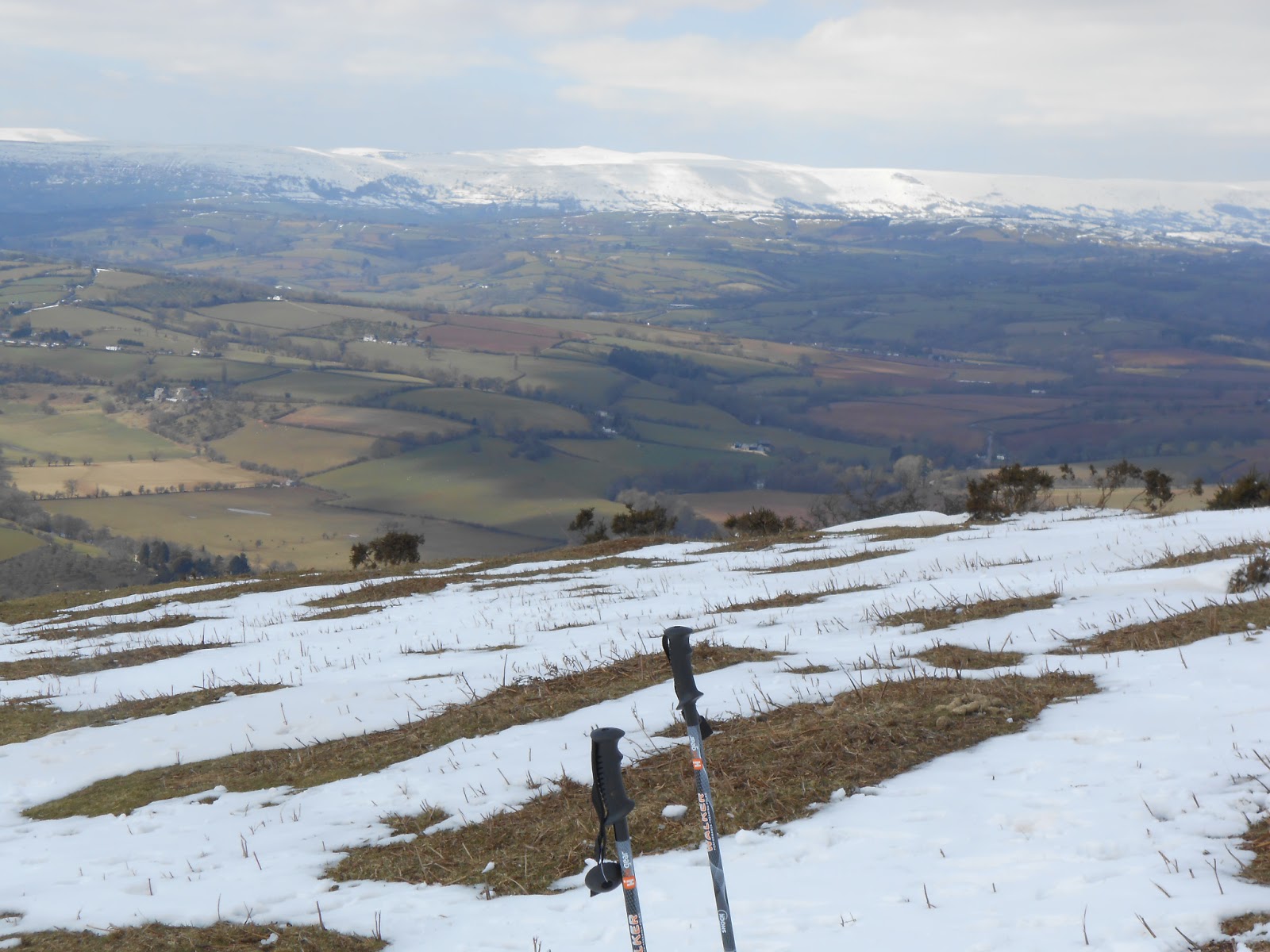
Easter Sunday and after all the snow of the last couple of weeks, I decided to get out and do a couple of hills whilst we wait for the higher roads to become passable again. It was a cold day with still plenty of snow around but bright and sunny. I parked at the end of the road at "White Rocks". It's an easy ascent up to the summit where there is an old disused WW2 RDF station. I set up in the lee of the station to stay out of the cold wind. This turned out to be quite a busy spot with plenty of folks out for a walk on Easter Sunday. It took quite some time to break a wy from conversation with a couple of walkers but eventually got on the air where the useual crowd were waiting patiently! 46 QSOs with 21 DXCC rounded off a pleasant sunny early afternoon. With time for another activation, I packed up and descended to the car.
 |
| Snow covered Black mountain in the distance. |
 |
| Sugar Loaf in the distance. |
 |
| WW2 RDF site. |
 |
| Luxurious shack. |


No comments:
Post a Comment