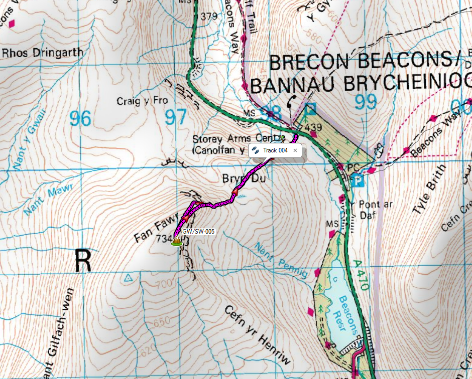
Fan Fawr - 734m, 6 points
Association: Wales Region: South WalesLatitude: 51 51 45 N, Longitude: 3 29 49 W
Grid Reference: SN 970193, QTH Locator: IO81GU

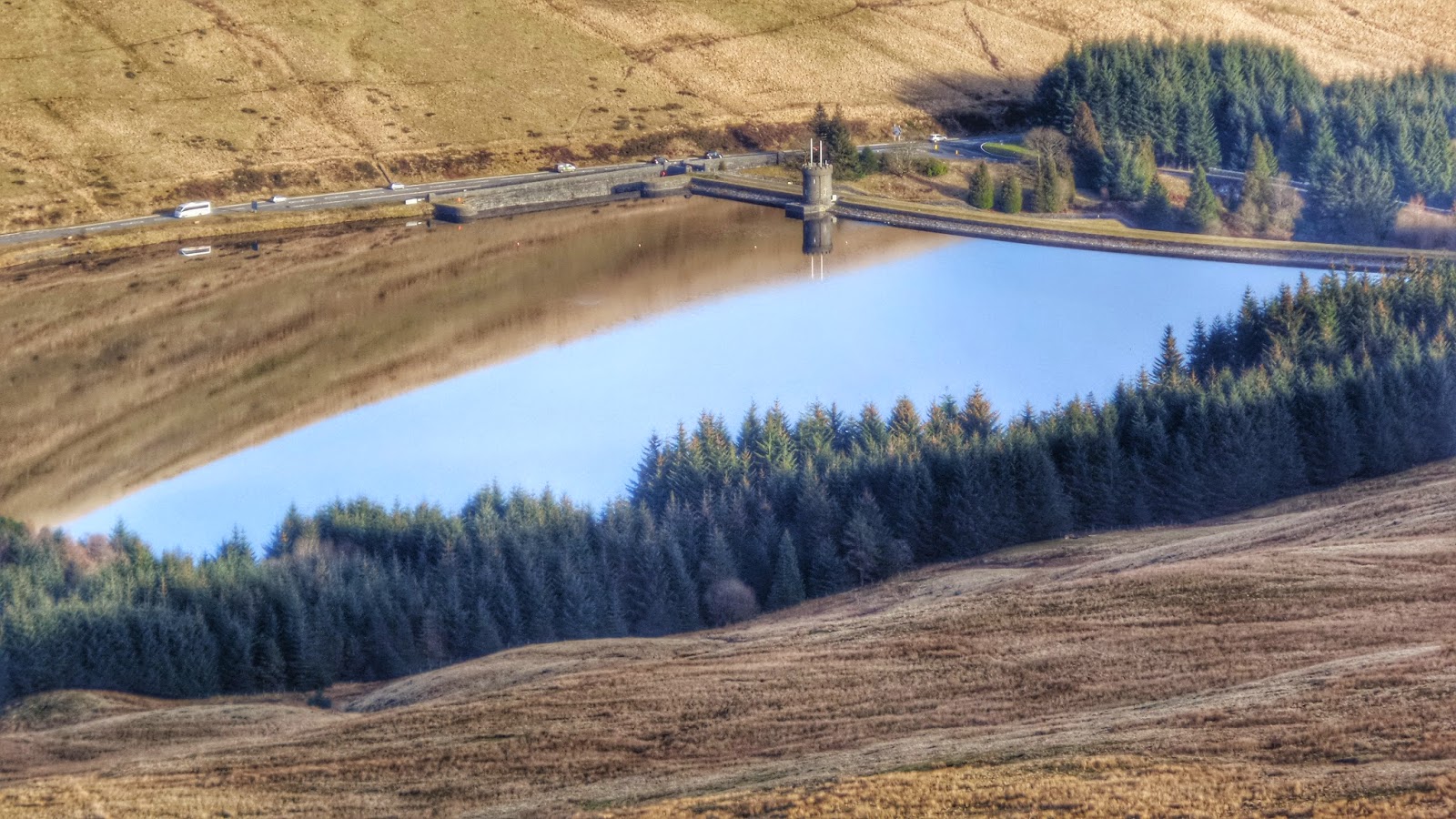
Meeting only two people descending Fan Fawr, when I arrived at the top I had it entirely to myself. This is in contrast to the hundreds I'd seen earlier this morning just across the road!
 |
| Arriving at the summit |
No sooner had I completed this task than I felt the first drop of moisture landing on my face. I glanced westward to see a leaden grey sky rapidly approaching.
I quickly called CQ and was thankful when the calls started to quickly roll in. There was no time for niceties this time, just a report and quickly move on. The snow was falling heavily, the wind was piping up and the visibility had dropped to only a few metres.
 |
| The Shack |
 |
| Snow closing in |

With a well behaved pack of chasers I quickly rattled them off 38 QSOs in 30 minutes and then apologised that "snow stops play" and pulled the plug!
No S2S but nice to bag VE1WT, KG3W and KT5K for some transatlantic contacts.
 |
| Log |
 |
| Summary |
 |
| Log2Map |
I packed as much stuff away as possible in the shelter of the tarp, then made a dash for the antenna and pole, doing as much packing as possible under shelter. Finally with everything stowed away, it was pull out the 4 pegs holding the tarp and scrunching it into the top of my pack. I then made a beeline for the car (being careful not to go over the edge of the ridge :-) )
 |
| Snow arriving |
This was an extra special activation for me as It took me to exactly 500 activator pointers. That's halfway to Mountain Goat! Maybe I'm now a Mountain Kid!
There's an awfully long way to go yet for MG...
 |
| Halfway there! |


