Association: Wales
Region: South Wales
Latitude: 51 45 55 N,
Longitude: 3 6 56 W
Grid Reference: SO 231080,
QTH Locator: IO81KS
I read mixed reviews of this summit, but with only couple of days left before the winter bonus period ends, I thought I'd give it a try. I parked in the car park of the Big Pit mining museum in Blaenavon.

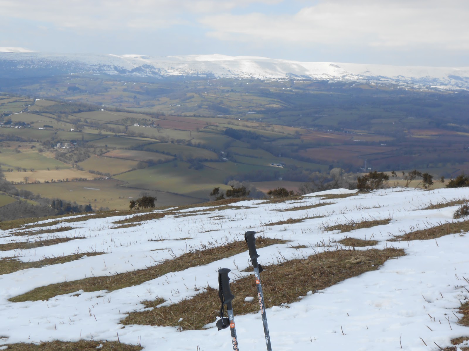
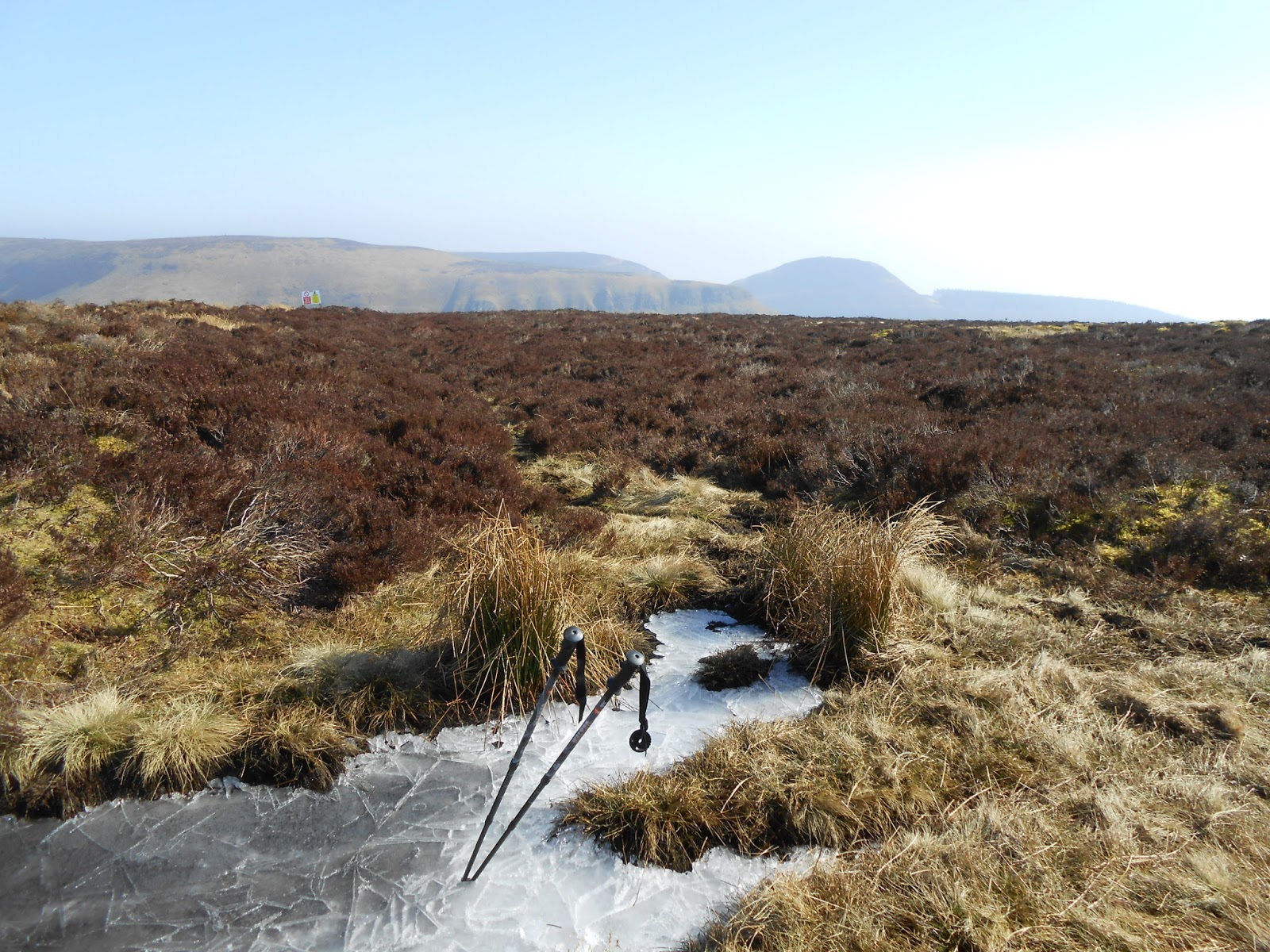
From here there is a marked trail and, as I discovered, marked parking for walkers. I left my car where it was in the virtually empty car park rather than move the 100yards or so to the designated spots. Initially the marked trail takes you up to a disused reservoir. I crossed a style to walk across the dam, and then another style onto open moorland. There was no sign of any track on the ground other than a few animal trails. I headed upwards to intersect a road up to some old mine workings. The trek across this boggy ground was difficult and slow going and needed occasional back tracking to find a way through. Once on the old road it was an easy ascent up to the derelict mine works. This is a sorry state but a reminder of the working heritage of the site. Following the track past the workings there's a short sharp climb before open moorland and the final ascent. From here there was a faint but definite path heading in the general direction of the summit. The summit is marked only by a small earth mound and, with nothing to support a pole, I had to revert to guying, something I try to avoid if at all possible. A quick activation with 39 QSOs and 15 DXCC followed, all the time watching the building clouds heading in form the north. There were occasional flurries of snow in the cold north wind. A quick descent and on the way back I picked up a better track between the old road and the reservoir. I'm not sure whether it was an animal track or not but it seemed to avoid the worst of the boggy terrain. A quick bite of lunch and then off on the the second summit of the day, Sugar Loaf.
 |
| Derelict mine workings |
 |
| Big Pit museum |


 From here there is a marked trail and, as I discovered, marked parking for walkers. I left my car where it was in the virtually empty car park rather than move the 100yards or so to the designated spots. Initially the marked trail takes you up to a disused reservoir. I crossed a style to walk across the dam, and then another style onto open moorland. There was no sign of any track on the ground other than a few animal trails. I headed upwards to intersect a road up to some old mine workings. The trek across this boggy ground was difficult and slow going and needed occasional back tracking to find a way through. Once on the old road it was an easy ascent up to the derelict mine works. This is a sorry state but a reminder of the working heritage of the site. Following the track past the workings there's a short sharp climb before open moorland and the final ascent. From here there was a faint but definite path heading in the general direction of the summit. The summit is marked only by a small earth mound and, with nothing to support a pole, I had to revert to guying, something I try to avoid if at all possible. A quick activation with 39 QSOs and 15 DXCC followed, all the time watching the building clouds heading in form the north. There were occasional flurries of snow in the cold north wind. A quick descent and on the way back I picked up a better track between the old road and the reservoir. I'm not sure whether it was an animal track or not but it seemed to avoid the worst of the boggy terrain. A quick bite of lunch and then off on the the second summit of the day, Sugar Loaf.


